
Congo : Photos
Discover every day Photographs of the various countries of Africa and the Caribbean
All the photos are from the photo sharing website flickr
Use the left menu to choose a country.
Le transport fluvial
Lake Kivu: Salesmen are heading home to Minova after selling their merchandise in Goma. The bridge that linked the town of Minova to Goma was destroyed in June 2015, which means people now have to make the journey by boat. Photo: Vincent Tremeau/The World Bank
Bamako Mali Betty from Congo & Beautiful African Children April 1995 101 OK
Bamako Mali Betty from Congo & Beautiful African Children April 1995
Robert Masako & the Congobeat from the Democratic Republic of the Congo DRC La Cremeria Album Launch at the Africa Centre London Dec 1st 2000 090 Patience
Robert Masako & the Congobeat from the Democratic Republic of the Congo DRC La Cremeria Album Launch at the Africa Centre London Dec 1st 2000
IMG_0008 Coin Street African Music Festival Southbank London Congo All Stars from DRC July 30 2000
Coin Street African Music Festival Southbank London Congo All Stars from DRC July 30 2000
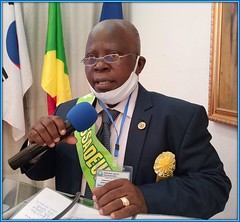
04
upfinternational posted a photo:

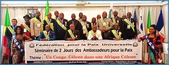
09
upfinternational posted a photo:
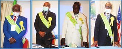
11
upfinternational posted a photo:

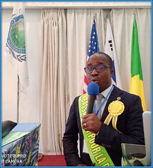
08
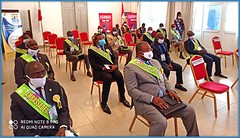
upfinternational posted a photo:
15
upfinternational posted a photo:

03
upfinternational posted a photo:
05
upfinternational posted a photo:
19
upfinternational posted a photo:

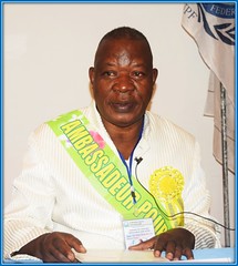
01
upfinternational posted a photo:
13
upfinternational posted a photo:

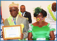
07
upfinternational posted a photo:

20
upfinternational posted a photo:

18
upfinternational posted a photo:
14
upfinternational posted a photo:
10
upfinternational posted a photo:

17
upfinternational posted a photo:

Images automaticaly loaded from flickr with tags : (congo)